转发:QGIS原来可以制作出这么酷炫的地图
在10月25日,制图大牛Topi Tjukanov在推特上发起了一项#30DayMapChallenge的活动,在11月份每天一个主题,设计一张地图,不限工具,目前有数百人参与其中。
之前曾推送过一篇文章《地图的制作不仅仅需要技术,还需要有艺术加持》介绍了一位来自乌克兰的参与者Fedir Gontsa的作品集。今天再给大家分享另外一个大牛Romain Lx @lacxrx 的30天打卡作品集(很多图都是使用QGIS制作的,而且绝大多数图都是针对同一个区域进行制作的,很值得借鉴学习)。
废话不说,直接上图。
1. Points
Dot map of crop types in FranceEach dot represents a plot registered with the CAP (EU)Made with #QGIS
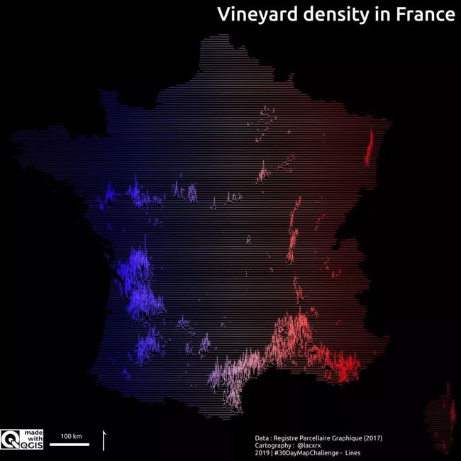
2. Lines
Vineyard density in FranceObviously with the help of @cartocalypse code for #QGIS 3.10
3. Polygons
Once again the same CAP data, this time represented as a bivariate map crossing by ???????????????????????????? the crop diversity with the mean plot size Design inspired by a @PostGraphics map#MadewithQGIS
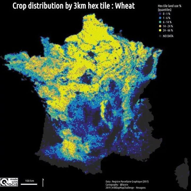
4. Hexagons
As you enjoy #agriculture, here is the distribution of some crops per 3km hex tile#MadewithQGIS
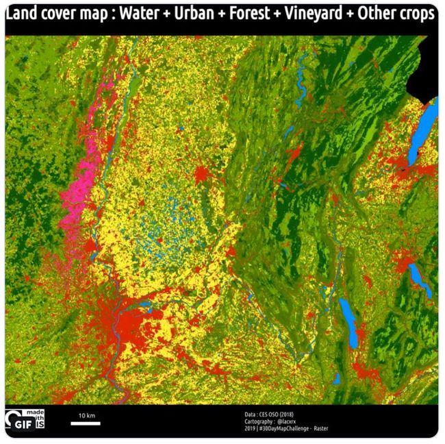
5. Raster
Decomposition of a land use raster (Ain department, France)
Data@CesbioLab/@PoleTheia: http://osr-cesbio.ups-tlse.fr/~oso/
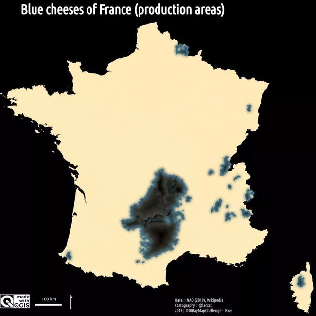
6. Blue
Blue for blue cheese production areas in France (yeah, it's all about the blue mold effect) #MadewithQGIS #TeamRoquefort #TeamBleu #TeamFourme
7. Red
French vines cartogramMade with #QGIS
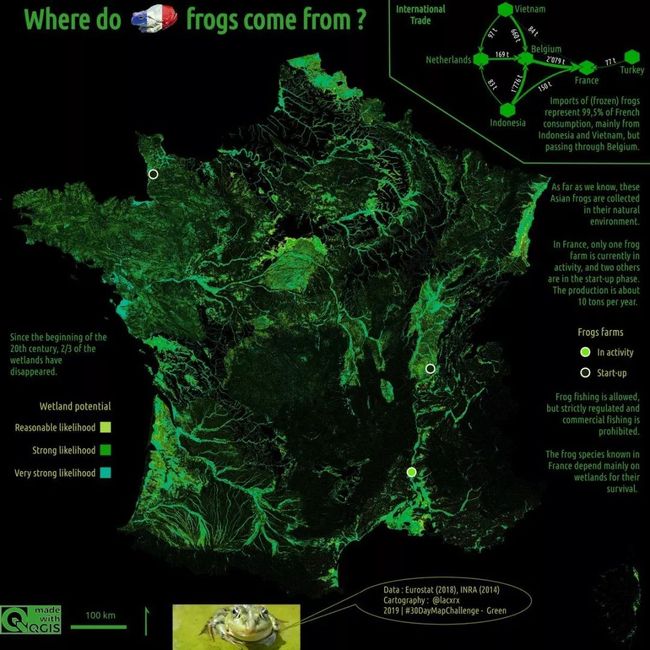
8. Green
What about frogs?Imports and habitat in FranceMade with #QGIS
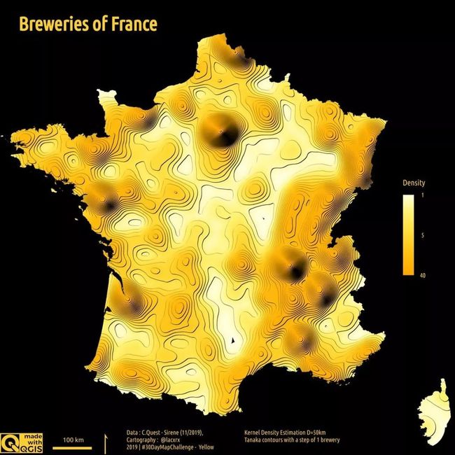
9. Yellow
Breweries density in France Made with #QGIS
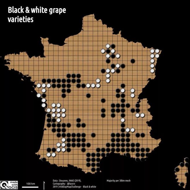
10. Black & White
Black and white grape varieties in France as a Go gameMade with #QGIS
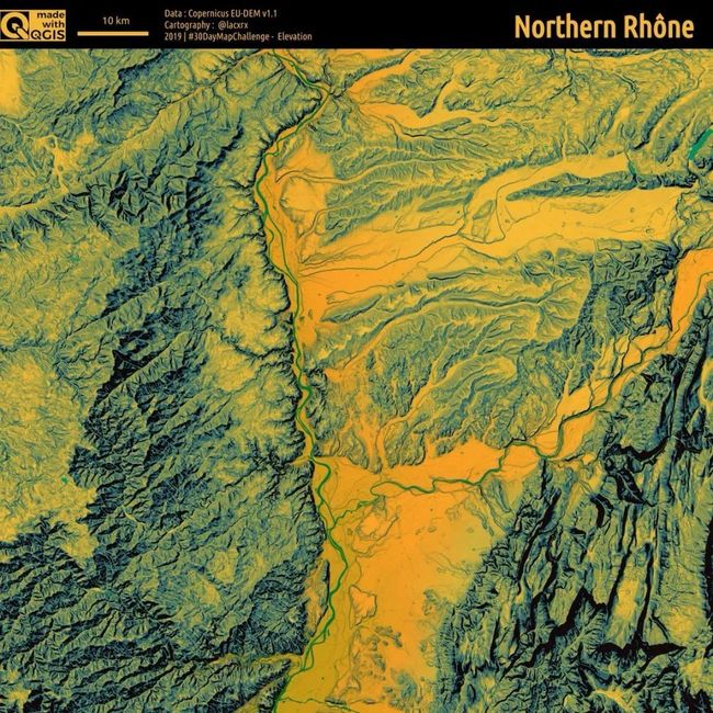
11. Elevation
For #winelovers and my playing field, elevation of the Northern Rhône wine regionMade with #QGISData @CopernicusLand
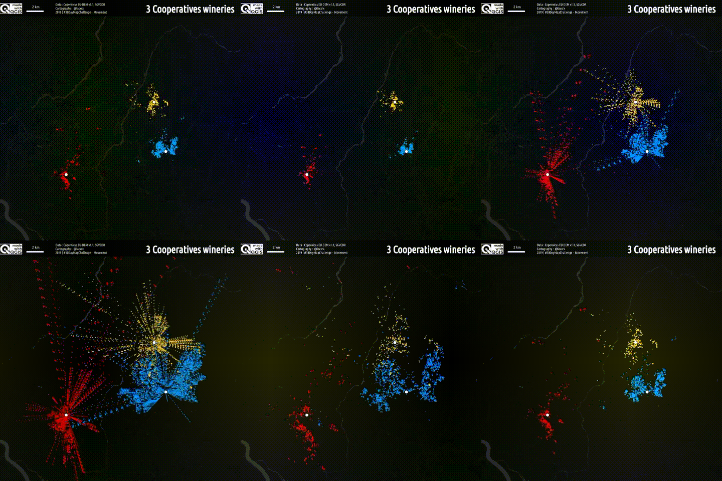
12. Movement
Grape flows to 3 cooperative wineries Made with #QGIS
13. Tracks
214 hiking trails in FranceMade with #QGIS
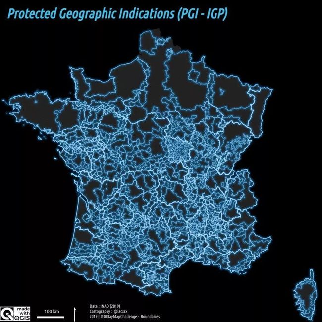
14. Boundaries
PDO/AOC and PGI/IGP are two official quality marks, dedicated to products whose reputation for quality is linked to a bounded geographical origin.Here are these boundaries, for the French ones.Made with #QGIS
15. Names
Some cheesesMade with #QGIS
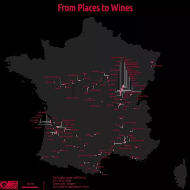
16. Places
From Places to WinesMade with #QGIS 3.10 (callouts hell in Burgondy)Only municipality names to PDO wines
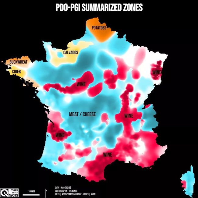
17. Zones
PDO-PGI summarized zonesMade with #QGIS and #rstats (kknn)
18. Globe
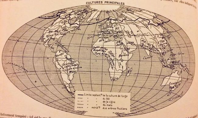
As I have no time for making a map today, here is an old world map of agricultural crops (Schrader, Prudent and Anthoine, 1904)
19. Urban
Functional Urban Areas in FranceMade with #QGIS
20. Rural
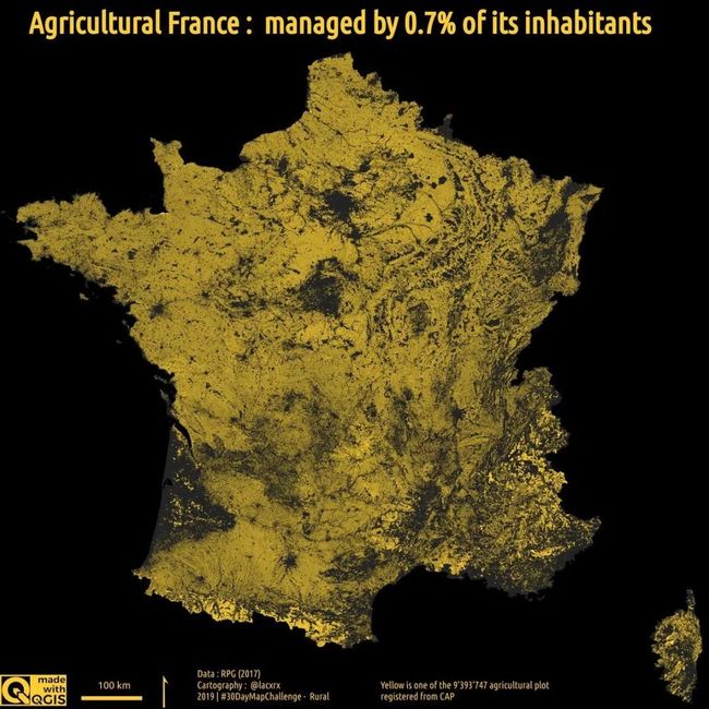
Just a map of agricultural FranceMade with #QGIS
21. Environment
Environmental restricted areas in FranceMade with #QGIS
22. Built environment
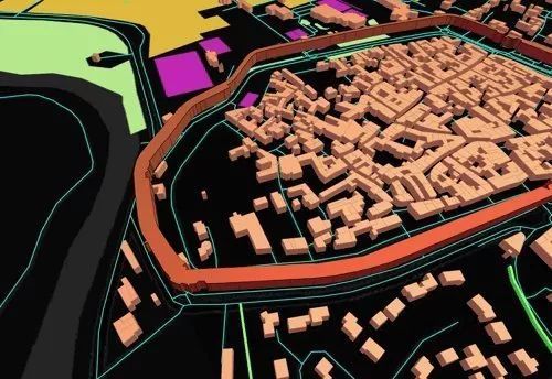
A short tour of the urban environment of Caderousse (France)Made with #QGIS & (Quick)OSM
23. Population
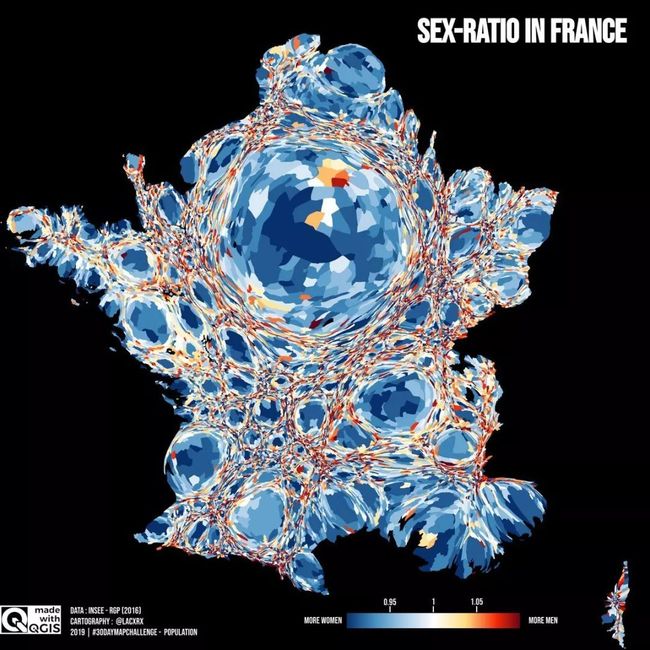
Women's cities and men's countryside, the sex ratio in FranceMade with #QGIS
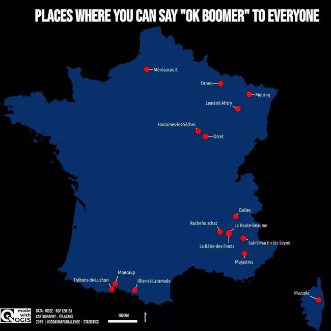
24. Statistics
Places in France where you can say "OK boomer" to everyoneMade with #QGIS
25. Climate
Moisture index for the 2019 wine year (Vaucluse, France)"Aridity" in redMade with
@sentinel_hub
26. Hydrology
Topographic Wetness Index Vinsobres plateau (France)Made with #QGIS
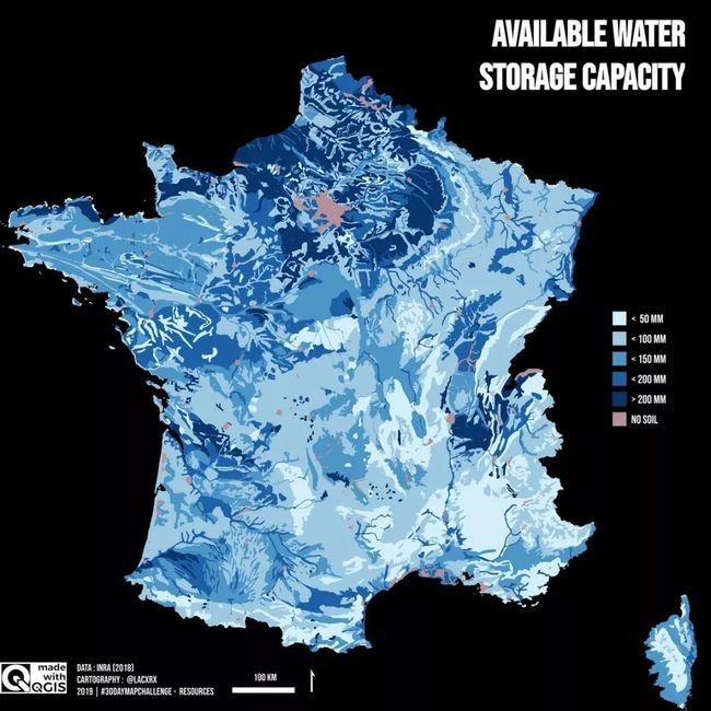
27. Resources
Available water storage capacityMade with #QGIS
28. Funny
Crepes on a waffleMade with #QGIS
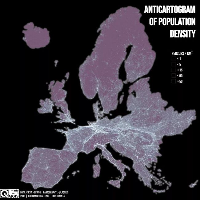
29. Experimental
Misanthropic anticartogram of European population densityMade with #QGIS
30. Home
Last map with our ampelographic collection, for the preservation of rare regional grapevine varieties.
扩展阅读
地图的制作不仅仅需要技术,还需要有艺术加持
长
按
关
注
查 看 更 多 精 彩 内 容


