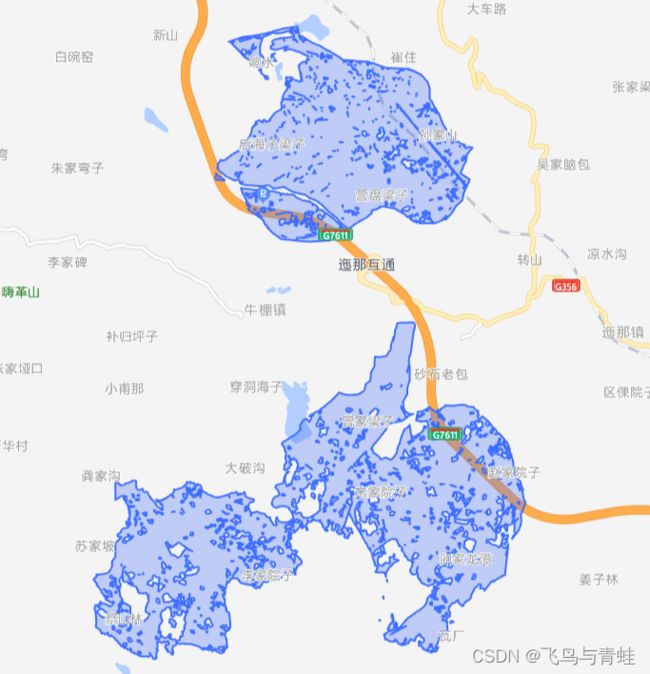
GIS动态矢量切片(MVT——MapBox Vector Tile)
GIS动态矢量切片
前言
有关矢量切片以及MVT(MapBox Vector Tile)自行搜索了解,不再赘述。
接口格式 http://domain:port/map/vector/tile/{z}/{x}/{y},其中z代表缩放层级,x、y代表当前行列号

一、方法
采用postgis的函数ST_AsMVT、ST_AsMVTGeom、ST_TileEnvelope函数,实现此功能。
简单讲 ST_TileEnvelope 函数用于计算行列并返回对应的矩形范围,ST_AsMVTGeom返回图层中对应行的坐标,ST_AsMVT返回二进制的Mapbox Vector Tile数据。
函数解释
ST_AsMVT:返回一个二进制Mapbox Vector Tile
二、环境
Postresql 12.x + Postgis + Spring Boot
三、实现
MapBoxVectorTile
package com.osgeo.vectortile.domain;


import lombok.Data;

@Data
public class MapBoxVectorTile {
    private byte[] tile;
}
MapBoxVectorTileMapper
package com.osgeo.vectortile.mapper;

import com.baomidou.mybatisplus.annotation.SqlParser;
import com.osgeo.vectortile.domain.MapBoxVectorTile;
import org.apache.ibatis.annotations.Mapper;
import org.apache.ibatis.annotations.Param;

@Mapper
public interface MapBoxVectorTileMapper {
    @SqlParser(filter=true)
    MapBoxVectorTile vectorTitle2(@Param("z") Integer z, @Param("x") Integer x, @Param("y") Integer y, @Param("dpi") Integer dpi);
}
MapBoxVectorTileMapper.xml
DOCTYPE mapper
        PUBLIC "-//mybatis.org//DTD Mapper 3.0//EN"
        "http://mybatis.org/dtd/mybatis-3-mapper.dtd">
<mapper namespace="com.osgeo.vectortile.mapper.MapBoxVectorTileMapper">

    <resultMap type="com.osgeo.vectortile.domain.MapBoxVectorTile" id="MapBoxVectorTileResult">
        <result property="tile" column="tile"/>
    resultMap>
    <select id="vectorTitle2" resultMap="MapBoxVectorTileResult">
        SELECT ST_AsMVT(tiletable.*, 'gb_title', #{dpi}) as tile
        FROM (SELECT id,
                     project_name                                                                               as name,
                     approval_year                                                                              as "year",
                     build_address                                                                              as poi,
                     dept_id                                                                                    as dept,
                     ST_AsMVTGeom(geo_rangeline, ST_Transform(ST_TileEnvelope(#{z}, #{x}, #{y}), 4326), #{dpi}) as geom
              from (select *
                    from gbt_project_info
                    where 1 = 1
                      and ST_Intersects(ST_Transform(ST_TileEnvelope(#{z}, #{x}, #{y}), 4326),
                                        geo_rangeline)) ta) as tiletable
        where tiletable.geom is not null;
    select>
mapper>
MapBoxVectorTileServiceImpl
package com.osgeo.vectortile.service.impl;

import com.osgeo.vectortile.mapper.MapBoxVectorTileMapper;
import com.osgeo.vectortile.service.MapBoxVectorTileService;
import com.osgeo.vectortile.utils.MapBoxVectorTileUtil;
import org.springframework.beans.factory.annotation.Autowired;
import org.springframework.stereotype.Service;

@Service
public class MapBoxVectorTileServiceImpl implements MapBoxVectorTileService {
    @Autowired
    MapBoxVectorTileMapper mapper;

    @Override
    public byte[] vectorTitle(Integer z, Integer x, Integer y) {
        Integer dpi = MapBoxVectorTileUtil.zoom2dpi(z);
        return mapper.vectorTitle2(z, x, y, dpi).getTile();
    }
}
package com.osgeo.vectortile.utils;

import com.osgeo.vectortile.domain.TileBox;

import java.util.HashMap;
import java.util.Map;

public class MapBoxVectorTileUtil {
    private static Map<Integer, Integer> map;

    static {
        map = new HashMap<>();
        map.put(1, 2);
        map.put(2, 2);
        map.put(3, 2);
        map.put(5, 2);
        map.put(6, 2);
        map.put(7, 512);
        map.put(8, 512);
        map.put(9, 1024);
        map.put(10, 1024);
        map.put(11, 1024);
        map.put(12, 1024);
        map.put(13, 2048);
        map.put(14, 2048);
        map.put(15, 4096);
        map.put(16, 4096);
        map.put(17, 4096);
        map.put(18, 4096);
        map.put(19, 4096);
        map.put(20, 4096);
    }

    public static Integer zoom2dpi(Integer z) {
        return map.containsKey(z) ? map.get(z) : 2048;
    }
}
MapBoxVectorTileService
package com.osgeo.vectortile.service;

public interface MapBoxVectorTileService {
    byte[] vectorTitle(Integer z, Integer x, Integer y);
}
MapBoxVectorTileController
package com.osgeo.vectortile.controller;

import com.osgeo.vectortile.service.MapBoxVectorTileService;
import org.springframework.beans.factory.annotation.Autowired;
import org.springframework.web.bind.annotation.GetMapping;
import org.springframework.web.bind.annotation.PathVariable;
import org.springframework.web.bind.annotation.RequestMapping;
import org.springframework.web.bind.annotation.RestController;

import javax.servlet.http.HttpServletResponse;
import java.io.*;

@RestController
@RequestMapping("/map/vector/tile")
public class MapBoxVectorTileController {

    @Autowired
    MapBoxVectorTileService service;

    @GetMapping("/new/{z}/{x}/{y}")
    public void vectorTitle2(@PathVariable("z")Integer z, @PathVariable("x") Integer x, @PathVariable("y") Integer y, HttpServletResponse response){
        response.setContentType("application/x-protobuf;type=mapbox-vector;chartset=UTF-8");
        byte[] tile = service.vectorTitle2(z, x, y);
        // 输出文件流
        OutputStream os = null;
        InputStream is = null;
        try {
            is = new ByteArrayInputStream(tile);
            os = response.getOutputStream();
            byte[] bytes = new byte[1024];
            int len;
            while ((len = is.read(bytes)) != -1) {
                os.write(bytes, 0, len);
            }
            os.flush();
        } catch (FileNotFoundException e) {
            e.printStackTrace();
        } catch (IOException e) {
            e.printStackTrace();
        } finally {
            try {
                is.close();
                os.close();
            } catch (IOException e) {
                e.printStackTrace();
            }
        }
    }
}

