如何在Solidworks中导入地图
所需软件:EarthSculptor,Mathematica 10,Soliworks Premium 2014 sp1.0,Keyshot 4.2 Pro
视频教程此处下载
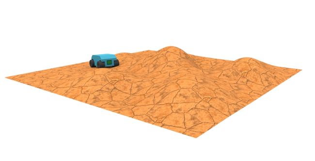
效果图:
Mathematica负责提取高程图的坐标,缩放并另存为 (x,y,z) 的txt格式
代码如下:
TerrainData = ImageData[];
Dimensions[TerrainData];
range = 64/10;
TerrainDatascale = Flatten[Table[{500*i, 500*j, 500* 8*TerrainData[[Round[i*10], Round[j*10]]]}, {i, 0.1, range,0.1}, {j, 0.1, range, 0.1}], 1];
ListPlot3D[ TerrainDatascale, BoxRatios -> Automatic, Mesh -> None,PlotRange -> All, Boxed -> False, Filling -> Bottom,FillingStyle -> Brown,
ColorFunction -> "Topographic", Axes -> False]
Export["C:\\Users\\Administrator\\Desktop\\a.txt", TerrainDatascale];