ArcGIS API for Silverlight开发入门 (1)
上篇已经简单介绍了ArcGis API for Silverlight开发环境的搭建,此篇闲话少叙,直接来看一个简单的例子。
一、工程目录截图:
二、创建步骤
分如下 几个步骤:
1、新建Silverlight工程 Silverlight4ArcGisExample1。
2、添加ESRI.ArcGIS.Client.dll引用。
3、在MainPage下创建如下代码。
<UserControl x:Class="Silverlight4ArcGisExample1.MainPage"
xmlns="http://schemas.microsoft.com/winfx/2006/xaml/presentation"
xmlns:x="http://schemas.microsoft.com/winfx/2006/xaml"
xmlns:d="http://schemas.microsoft.com/expression/blend/2008"
xmlns:mc="http://schemas.openxmlformats.org/markup-compatibility/2006"
xmlns:esri="clr-namespace:ESRI.ArcGIS.Client;assembly=ESRI.ArcGIS.Client"
mc:Ignorable="d"
d:DesignHeight="300" d:DesignWidth="400">
<Grid x:Name="LayoutRoot" Background="White">
<esri:Map x:Name="mymap">
<esri:Map.Layers>
<esri:ArcGISTiledMapServiceLayer ID="layerworldmap" Url="http://server.arcgisonline.com/ArcGIS/rest/services/ESRI_Imagery_World_2D/MapServer" />
</esri:Map.Layers>
</esri:Map>
</Grid>
</UserControl>
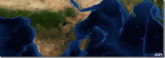
三、运行结果:
四、知识点说明
1、Map标签(继承自xaml的Control)相当于一个Map控件,可以在其中加入图层;这里我们添加了一个ArcGISTiledMapServiceLayer图层,还有其它图层我们会在后续说明。
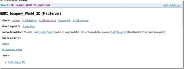
2、图层中的URL属性为已经发布的地图服务,例子中为Esir公司的在线服务。
该地址可在浏览器中直接访问,访问后点击ArcGIS JavaScript可进行预览。


